Hadleigh set to be hit with more high winds as Storm Franklin arrives
By Derek Davis 21st Feb 2022
")
Hadleigh is set to be hit by more high winds as Storm Franklin sweeps in from the west.
The met Office has confirmed as the low-pressure system is expected to bring high winds during Sunday night and into Monday morning for much of the UK.
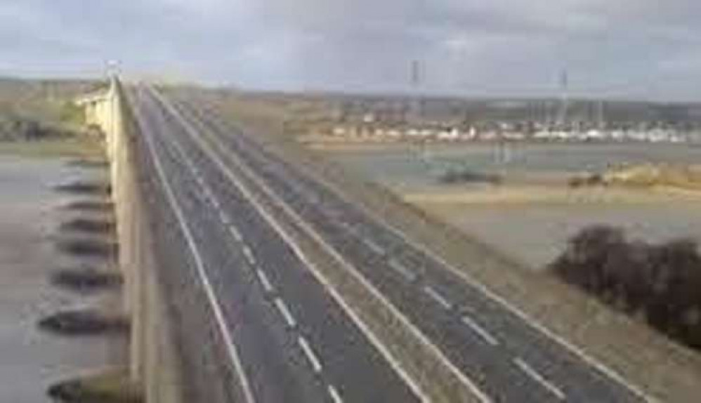
Highways East have not yet confirmed what time the Orwell bridge will close again, but it is likely not to be open in the early morning and delays are likely as traffic is diverted through Ipswich.
The latest storm follows on from a week in which Storm Dudley and Storm Eunice also impacted the UK, although wind gusts from Storm Franklin are expected to be lower than Eunice which triggered two Red Weather Warnings.
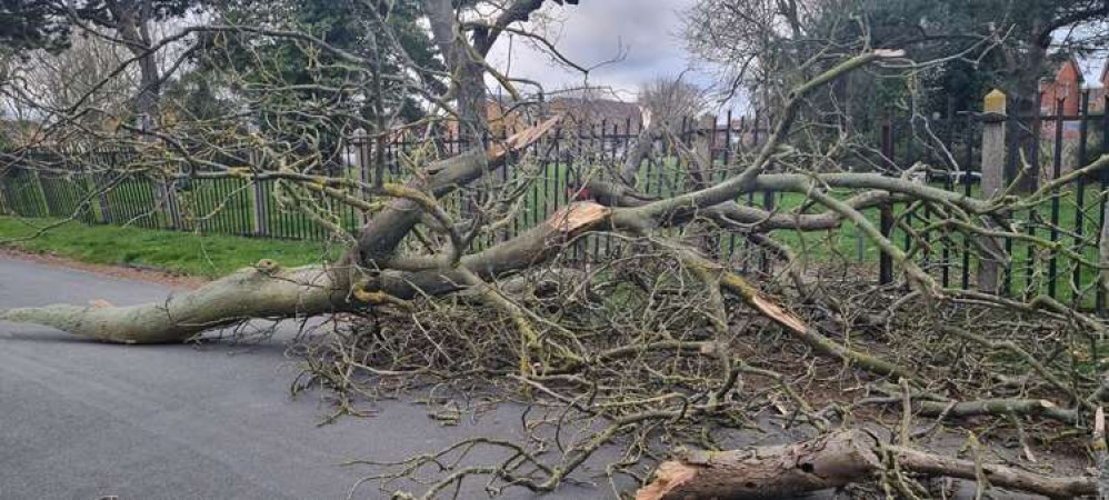
A number of trees fell during Storm Eunice, including one in Manor Gardens n the centre of Ipswich, along with others in Polstead, Elmsett and Layham.
Along with the rest of Suffolk, Hadleigh has been issued with a yellow weather warning for Storm Franklin from midnight.
Within the yellow warning area, wind gusts will be 65-75mph in coastal areas, and more widely 50-60mph further inland.
The centre of Storm Franklin will track eastwards over the north of Scotland from early Monday morning, with the highest winds expected on the southern flank of the system.
The centre of Storm Franklin will clear into the North Sea on Monday morning, although high winds will continue to be felt for most through Monday, as is reflected in the Yellow Weather Warning.
Met Office Chief Meteorologist Andy Page said: "Following the significant impacts of Storm Eunice on Friday, Storm Franklin will bring further high winds for many late on Sunday and into Monday, although not on the same scale as Eunice.
"Coastal areas of Northern Ireland, especially on that north coast, will get the strongest wind gusts, which could be around 80mph in a few places.
"Amber and Yellow Wind Warnings have been issued, and people should remain cautious ahead of the system that will bring 50-60mph wind gusts for much of the UK from late on Sunday and through Monday."
A Yellow Weather Warning is also in force in the northwest of England, with heavy rain expected through much of Sunday.
RAC Breakdown Spokesman Rod Dennis said: "Drivers will be glad to see the back of Storm Eunice but it looks like conditions on the roads will remain challenging right through the weekend. With winds still strong and gusty, it's important drivers don't take any chances, so we urge them to slow down and leave plenty of space between themselves and the vehicle in front.
"It's not just strong winds that they'll need to contend with – on Sunday intense rainfall becomes a feature making driving arduous.
If conditions get particularly bad again, people should consider postponing their journeys, and for those who have to drive, it's vital they keep their wits about them at all times."
People are advised to check the Suffolk local resilience authorities for ongoing safety advice around travel and preparations.
CHECK OUT OUR Jobs Section HERE!
hadleigh vacancies updated hourly!
Click here to see more: hadleigh jobs
Share: